Summary
The Indian government has introduced a new provision in the Delimitation Bill that gives the Election Commission the power to redraw electoral boundaries in Pakistan-occupied Jammu and Kashmir (PoJK). This move is a significant step in reinforcing India's legal claim over the entire region of Jammu and Kashmir. By including these areas in the official planning for elections, the government is making it clear that it views PoJK as an inseparable part of the country. This decision has major political and legal meanings for the future of the region.
Main Impact
The biggest impact of this bill is the formal recognition of PoJK within India’s electoral framework. For a long time, seats have been set aside for this region in the legislative assembly, but they remained vacant and untouched. Now, the law specifically mentions that the Election Commission can carry out the work of fixing boundaries in these areas. This does not mean elections will happen tomorrow, but it creates a legal path for the government to act whenever it decides the time is right. It also sends a strong message to the world about India's official stance on its borders.
Key Details
What Happened
The government updated the rules regarding how voting areas are decided in Jammu and Kashmir. In the past, the process of redrawing these areas, known as delimitation, mostly focused on the parts of the region currently managed by India. The new provision changes this by explicitly mentioning the areas under Pakistani control. It allows the Election Commission of India to treat these areas as part of the total map when planning for future governance. This move follows the major changes made in 2019 when the special status of Jammu and Kashmir was removed.
Important Numbers and Facts
In the Jammu and Kashmir Legislative Assembly, there are a total of 114 seats. Out of these, 90 seats are for the areas currently under Indian administration. However, 24 seats are specifically reserved for the people living in Pakistan-occupied Jammu and Kashmir. These 24 seats have traditionally been left empty during elections. The new bill ensures that the Election Commission has the authority to define these 24 seats clearly on the map. This ensures that the legal structure of the assembly accounts for the full territory of the former princely state.
Background and Context
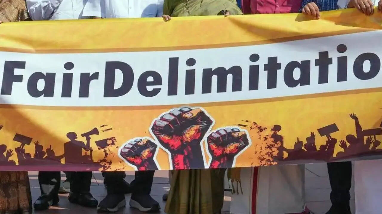
To understand why this matters, it is important to know what delimitation is. It is the process of redrawing the boundaries of assembly or parliamentary seats to make sure each seat has a fair number of voters. This usually happens after a census to reflect changes in the population. In Jammu and Kashmir, this process has been very sensitive due to the long-standing conflict over the region.
Since 1947, a portion of Jammu and Kashmir has been under the control of Pakistan. India has always maintained that this land belongs to it. In 2019, the Indian government changed the status of Jammu and Kashmir from a state to a Union Territory. Since then, there has been a push to reorganize the political map of the region to prepare for fresh elections. Including PoJK in this process is a way to keep the legal claim active and official.
Public or Industry Reaction
The reaction to this news has been divided along political lines. Supporters of the government see this as a brave and necessary step to show that India will not give up its claim on PoJK. They believe it strengthens India's position in international discussions. On the other hand, some critics argue that since India does not currently control those lands, redrawing boundaries there is a symbolic move that might not change anything on the ground immediately. International observers and neighboring countries often watch these legal changes closely, as they can lead to increased tension between India and Pakistan.
What This Means Going Forward
Going forward, this bill provides the Election Commission with a clear mandate. Even if the commission cannot physically visit PoJK to count people or map the land, they can use historical data and maps to fulfill the legal requirement. This keeps the seats "alive" in the eyes of the law. It also means that any future government in Jammu and Kashmir will operate under a system that officially recognizes the missing 24 seats as part of its structure. This could lead to more discussions in the United Nations or other global groups regarding the status of the border.
Final Take
This update to the Delimitation Bill is a clear sign of India's long-term goals for the region. While it is a technical change in how voting maps are drawn, its real value is in the message it sends. It tells the citizens and the world that the government considers the map of India incomplete without PoJK. By giving the Election Commission the power to work on these boundaries, the government is ensuring that its legal claims are backed by official legislative action. It is a move that blends law, politics, and national identity into a single policy.
Frequently Asked Questions
What is delimitation?
Delimitation is the process of redrawing the boundaries of voting areas or constituencies. This is done to make sure that each representative in the government stands for a similar number of people, keeping the voting process fair.
Why are 24 seats kept vacant in Jammu and Kashmir?
These 24 seats are reserved for the areas of Jammu and Kashmir that are currently under the control of Pakistan. India keeps them vacant to show that it still claims those territories as its own and hopes to include them in the future.
Can the Election Commission actually work in PoJK?
Currently, the Election Commission cannot physically operate in those areas because they are not under Indian control. However, the bill gives them the legal authority to include those areas in their official plans and maps from a distance.