Summary
The Indian Space Research Organisation (ISRO) has joined forces with the Ashoka Trust for Research in Ecology and the Environment (ATREE) to map India’s grasslands. This new partnership uses advanced satellite technology and ground-level research to identify and track open natural ecosystems across the country. By creating a detailed map, the two organizations hope to help the government make better decisions about land use and environmental protection. This project is a major step toward understanding how these lands help the planet and how they can be restored.
Main Impact
The biggest impact of this collaboration is the shift in how India views its open lands. For a long time, many grasslands were seen as "wastelands" because they did not have thick forests or farms. This project will prove that these areas are actually vital ecosystems. With accurate maps, officials can now plan construction and development projects without destroying important natural habitats. Furthermore, the data will help scientists calculate how much carbon these grasslands soak up from the atmosphere, which is a key part of fighting climate change.
Key Details
What Happened
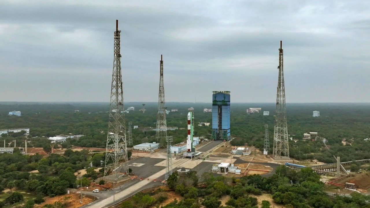
ISRO’s Space Applications Centre (SAC) and ATREE have signed a formal agreement to work together. They are focusing on "Open Natural Ecosystems," which include grasslands, scrublands, and savannas. While forests are often easy to see from space, grasslands can be harder to track because they change with the seasons. By combining ISRO’s high-tech satellite images with ATREE’s deep knowledge of local plants and animals, the team can create the most accurate map of these areas ever made for India.
Important Numbers and Facts
The project will look at millions of hectares of land across different states. Grasslands in India are home to rare animals like the Great Indian Bustard and the Indian Grey Wolf. These areas also support the livelihoods of millions of people who raise livestock like cows, sheep, and goats. The partnership will focus on generating "policy-ready" data. This means the information will be organized in a way that government leaders can use it immediately to write new laws or change how land is managed. The study will also look at how much land has been lost to invasive species or unplanned building over the last few decades.
Background and Context
In India, land is a very precious resource. As the population grows, there is a lot of pressure to turn open spaces into factories, housing, or large farms. Historically, the government focused mostly on protecting forests. Because grasslands do not have many trees, they were often ignored in conservation plans. However, scientists now know that grasslands are just as important as forests. They prevent soil erosion, help water soak into the ground to refill wells, and provide food for animals. Without a clear map, it is impossible to know how much of this land is left or how to fix the parts that have been damaged.
Public or Industry Reaction
Environmental experts and conservationists have welcomed this move. Many have argued for years that the "wasteland" label used by the government was harmful to the environment. By using ISRO's technology, the project gains a high level of scientific trust. Industry leaders in the renewable energy sector are also watching closely. Many solar and wind farms are built on open lands. Having a clear map will help these companies choose locations that do not harm sensitive wildlife areas, making their projects more eco-friendly and less likely to face legal trouble.
What This Means Going Forward
Moving forward, this data will serve as a guide for "restoration" projects. Restoration means taking land that has been ruined and making it healthy again. For example, if a grassland has been taken over by weeds that animals cannot eat, the map will help experts find those spots and fix them. It also sets a standard for using space technology in nature conservation. In the future, similar methods could be used to track rivers, wetlands, and coastal areas more closely. The ultimate goal is to create a balance where India can grow its economy while still keeping its natural landscapes healthy for future generations.
Final Take
Mapping India's grasslands is about more than just drawing lines on a map; it is about recognizing the value of nature that is often hidden in plain sight. By combining the power of space satellites with local ecological expertise, ISRO and ATREE are providing the tools needed to protect India's biodiversity. This project ensures that "open lands" are no longer treated as empty spaces, but as vital parts of the country's environmental health and economic future.
Frequently Asked Questions
Why are grasslands important if they don't have trees?
Grasslands support unique wildlife and provide grazing land for livestock. They also play a huge role in storing carbon in their roots and soil, which helps keep the air clean and regulates the climate.
How does a satellite map grass?
Satellites take pictures using different types of light. Scientists look at these images to see the color and texture of the land. By checking these images at different times of the year, they can tell the difference between a farm, a forest, and a natural grassland.
What is a "policy-ready" dataset?
It is a collection of information that is simplified and organized so that lawmakers can use it to make rules. Instead of just raw scientific numbers, it provides clear maps and facts that show where protection is needed most.