
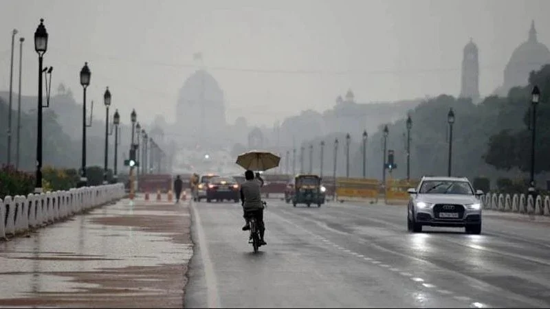
The southwest monsoon, which had been dragging through a lackluster August, roared back to life this weekend as a depression over the northwest Bay of Bengal strengthened into a deep depression. The India Meteorological Department (IMD) has issued a stark warning: heavy to extremely heavy rainfall is likely to lash eastern, central, and even parts of northwestern India over the next few days.
Deep depression forms: what the IMD is tracking
As of Sunday morning, the weather system was centred over the northwest Bay of Bengal, close to the coasts of Odisha and West Bengal. The IMD said the depression is expected to move northwestwards and deepen further within the next 24 hours – a classic trajectory for monsoon systems that can trigger widespread rain.
The most critical window is Monday. The system is forecast to cross the coast between Paradip in Odisha and Sagar Island in West Bengal around forenoon or noon. This track puts densely populated districts of both states directly in the path of the rain bands.
Rainfall forecast: who gets the heaviest downpour
The IMD’s bulletin paints a clear picture: heavy to very heavy rainfall (≥115 mm in 24 hours) is expected across Odisha, West Bengal, Jharkhand, Chhattisgarh, and parts of Madhya Pradesh. Isolated pockets could receive extremely heavy falls (≥204 mm), which often trigger flash floods, urban waterlogging, and landslides in hilly areas.
Central India, including Vidarbha and parts of Maharashtra, may also see a sharp uptick in monsoon activity as the deep depression moves inland. Northwestern states such as Rajasthan, Gujarat, and even Delhi could experience a delayed but intense spell of rain by mid-week.
Why this rain matters after a prolonged lull
For much of July and the first half of August, the monsoon had been in a so-called “break” phase – a period of weak rainfall that worries farmers and water managers. Reservoirs in several states, particularly in southern and western India, had begun to show deficits. The revival of the Bay of Bengal arm is therefore a double-edged sword: it brings desperately needed moisture for rain-fed crops like paddy and sugarcane, but also raises the risk of flooding in low-lying areas.
According to IMD data, the all-India rainfall deficit had narrowed slightly in recent weeks, but many districts remained below normal. This deep depression could help close the gap – if the rain falls gently over a few days, not in a single violent burst.
What authorities are telling people to do
State governments in Odisha and West Bengal have been alerted. The IMD has advised fishermen not to venture into the Bay of Bengal along and off the Odisha-West Bengal coasts until the system passes. Local disaster management teams are on standby, especially in the coastal districts of Jagatsinghpur, Kendrapara, Balasore, and East Midnapore.
Urban residents in cities like Bhubaneswar, Cuttack, Kolkata, and Howrah have been warned of waterlogging and traffic disruptions. The IMD also flagged the possibility of damage to kutcha houses and crops in the path of extremely heavy rain.
Confirmed facts vs what remains unclear
What is known: the depression has intensified into a deep depression, is moving northwest, and will cross the Odisha-West Bengal coast on Monday. The IMD’s rainfall forecasts are for heavy to extremely heavy falls over eastern and central India.
What remains uncertain: the exact track after landfall – whether the system will move deeper into central India or recurve northeastwards. Also unclear is how fast it will weaken after hitting land, which determines how far westward rain will spread. Farmers and commuters should stay tuned to updated bulletins.
How this fits into the larger monsoon pattern
This revival follows a typical mid-season pattern: the monsoon trough often shifts north after a break, and a Bay of Bengal disturbance strengthens the flow. Climate scientists note that such deep depressions are becoming more frequent during active monsoon phases in a warming world, though attribution studies require longer data sets. For now, the immediate concern is managing the sudden deluge.
Practical steps for those in affected areas
If you are in Odisha, West Bengal, Jharkhand, or Chhattisgarh: avoid low-lying areas, move livestock to higher ground, and keep emergency supplies ready. Drivers should avoid flooded roads – just 15 cm of moving water can sweep away a car. Farmers are advised to delay harvesting if rain is forecast, and to ensure drainage channels are clear.
Residents in central and northwestern states should not let their guard down either; the system’s remnants could bring sudden downpours even 1,000 km inland.
What’s next: the 48-hour window
The next two days will determine the severity of the weather event. If the deep depression retains strength after landfall, it could bring widespread rain across central India for 3–4 days. If it weakens quickly, the main impact will be confined to the eastern coast. Either way, the monsoon has sent a clear signal that its second half may not be as quiet as the first.
Our take
This is a classic monsoon “revival” event that carries both opportunity and risk. For a country that depends on June–September rains for its food security, every millimeter of precipitation counts. But the challenge is distribution – too much rain in a short time can be as damaging as too little. The IMD’s early and precise warnings are a strong tool, but they need to be matched by swift local action. Residents should treat this as a serious weather event, not a routine shower. The deep depression may end the monsoon deficit, but it could also leave a trail of flooded fields and damaged homes if preparedness falter.
Frequently Asked Questions
Is the Bay of Bengal depression dangerous?
Yes, a deep depression can bring winds of 50–60 km/h and extremely heavy rainfall, which can cause flooding, landslides, and damage to infrastructure. The IMD considers it a severe weather threat, especially for coastal areas.
Which states will be most affected by the monsoon revival?
Odisha, West Bengal, Jharkhand, Chhattisgarh, and parts of Madhya Pradesh are in the direct path. Later, central and northwestern states like Vidarbha, Rajasthan, and Gujarat may also receive heavy rain.
Will this deep depression become a cyclone?
Unlikely. A deep depression is one step below a cyclonic storm. The IMD has not indicated that it will intensify further into a cyclone; it is expected to weaken after hitting land.
What should farmers do during the extremely heavy rainfall alert?
Farmers should avoid sowing or harvesting during rain, ensure drainage in fields, and move cattle to safe shelters. Paddy fields may need controlled water release to prevent submergence. Check local IMD advisories for district-specific guidance.