Summary
A research group has used satellite images to track how heat has increased across different neighborhoods in Delhi over the last ten years. By looking at data from space, the study shows exactly which parts of the city are getting hotter and why. This new map helps leaders understand how the city is changing and where people are at the highest risk during summer. It is a vital tool for planning how to keep the city cool as temperatures continue to rise.
Main Impact
The biggest impact of this study is that it moves away from general city-wide weather reports and looks at local streets and blocks. For a long time, weather reports gave one temperature for all of Delhi, but this data shows that some wards are much hotter than others. This "local heat" makes a huge difference in how people live, work, and stay healthy. By identifying the hottest spots, the government can now focus its help on the specific areas that need it most, rather than trying to fix the whole city at once.
Key Details
What Happened
Experts from a research group, often called a think tank, collected ten years of data from satellites that orbit the Earth. These satellites do not just take pictures; they measure the heat coming off the ground. The researchers looked at every ward in Delhi to see how the surface temperature has changed since 2014. They found that as more buildings were put up and more trees were cut down, the ground began to hold onto heat much longer than it used to.
Important Numbers and Facts
The study covered a full decade to ensure the findings were not just based on one hot summer. It looked at over 250 wards across the city. The data revealed that some areas have seen a steady climb in temperature every single year. In some crowded neighborhoods, the ground temperature was found to be several degrees higher than in areas with more parks. The research also showed that the heat does not go away quickly at night in these "hot zones," because the concrete and asphalt stay warm long after the sun goes down.
Background and Context
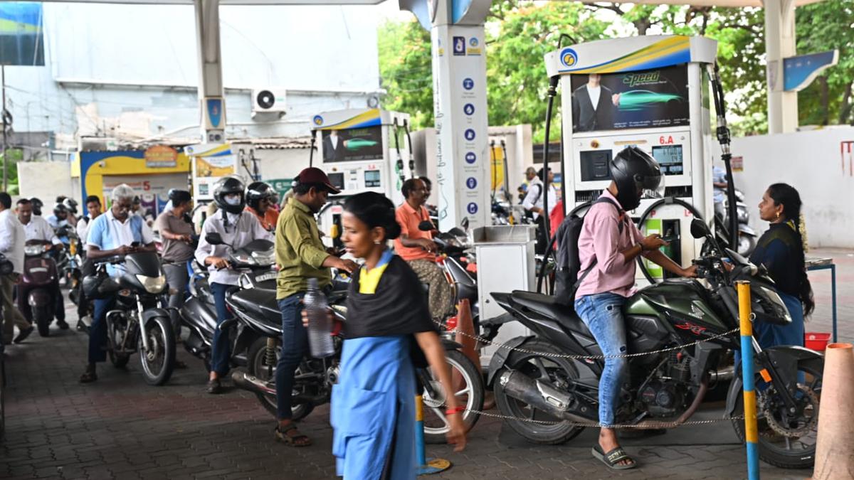
Delhi is a very large and crowded city that is growing quickly. When a city grows, it often replaces grass, trees, and dirt with bricks, cement, and tar. These man-made materials are very good at soaking up heat from the sun. This creates a problem where the city becomes like a giant oven. This is often called the "urban heat island" effect. Over the last ten years, Delhi has seen more extreme heatwaves, which can be dangerous for children, the elderly, and people who work outside. Understanding which wards are the hottest is the first step in making the city safer for everyone.
Public or Industry Reaction
City planners and environmental experts have welcomed this new data. They say that having a ward-wise map is much more useful than general data. Health workers have also noted that this information can help them predict where more people might get sick from the heat. Residents in the identified "hot zones" have often complained about high electricity bills because their fans and air conditioners have to work much harder. This study confirms what many people living in crowded areas have felt for years: their neighborhoods are getting harder to live in during the summer months.
What This Means Going Forward
Now that the city has this map, there are clear steps that can be taken. The government can use this information to decide where to plant new forests or create small parks. They can also use it to place "cooling centers" or water stations in the wards that show the highest heat surge. In the future, building rules might change to require materials that do not trap as much heat. This data will also be used to update the city's Heat Action Plan, which is the official guide on what to do when temperatures reach dangerous levels.
Final Take
Using technology from space to solve problems on the ground is a smart way to handle the growing heat crisis. By looking at the city ward by ward, leaders can make better choices that save lives and save energy. This ten-year study proves that heat is not just a natural event, but something that is shaped by how we build our cities. Taking action now based on this data will help make Delhi a more comfortable place to live for future generations.
Frequently Asked Questions
How do satellites measure heat in a city?
Satellites use special sensors to measure the energy coming off the ground. This is called "land surface temperature." It is different from the air temperature you see on a phone app, as it measures how hot the actual streets and buildings are.
Why are some wards hotter than others?
Wards with many buildings, narrow streets, and very few trees trap more heat. Areas with more parks, water bodies, or open spaces stay cooler because plants and water help lower the temperature naturally.
What can be done to cool down the hottest wards?
The most effective ways to cool these areas include planting more trees, using "cool roofs" that reflect sunlight, and protecting existing green spaces. Adding more water fountains and improving ventilation in crowded areas also helps.