
Summary
The District Collector of Chittoor has issued a strong call for total transparency in the ongoing land resurvey operations across the district. This initiative aims to update old land records and provide clear ownership documents to every landowner. By ensuring the process is open and honest, the administration wants to prevent future legal battles and protect the rights of farmers. This project is a major step toward modernizing how land is managed in the region.
Main Impact
The push for transparency is expected to change how land records are handled in Chittoor. When the survey is done correctly and openly, it removes the chance for corruption or human error. For the average citizen, this means their land boundaries will be officially recognized by the government using modern technology. This clarity will make it much easier for people to buy, sell, or use their land as collateral for bank loans without facing delays or disputes.
Key Details
What Happened
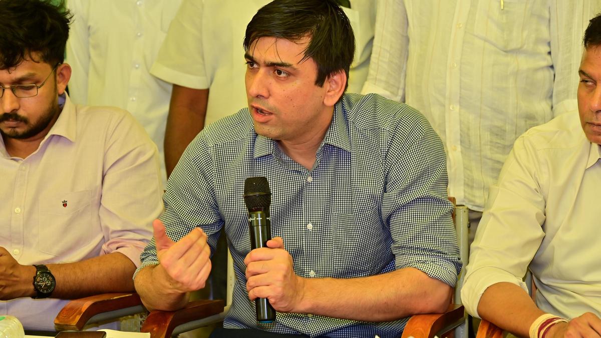
During a recent review meeting, the District Collector met with revenue officials, including Tahsildars and Revenue Divisional Officers. The main topic was the progress of the land resurvey project. The Collector told the officials that they must be present on the ground during the survey work. He stressed that they should not rely only on digital data but must verify everything in person. He also told them to talk directly to the villagers to solve any problems immediately.
Important Numbers and Facts
The resurvey project uses advanced tools like drones and Global Positioning System (GPS) technology to map every inch of land. Thousands of villages in the Chittoor district are part of this program. The government plans to hand over permanent land title deeds to owners once the survey is finished. Officials have been given strict timelines to complete the marking of boundaries with survey stones. The Collector warned that any staff member found being careless or dishonest would face serious disciplinary action.
Background and Context
In many parts of India, land records are very old and have not been updated for many decades. In Chittoor, some records date back to the British era. Over time, land has been divided among family members or sold many times, but the official papers often do not show these changes. This lack of updated information leads to many court cases and fights between neighbors. The current resurvey project is part of a state-wide effort to create a "clean" land registry where every plot has a unique digital ID and a clear map.
Public or Industry Reaction
Farmers in the district have shown a mix of hope and concern. Many are happy that the government is finally fixing the records for free. They believe that having a clear title will stop powerful people from grabbing land illegally. However, some residents are worried about technical errors. They fear that if a drone makes a mistake or if a staff member enters the wrong name in the computer, it might be hard to fix later. This is why the Collector’s call for transparency is so important to the public.
What This Means Going Forward
As the survey moves into its next phase, the focus will shift to printing and giving out the new land passbooks. The government wants to make sure that the digital records match the physical stones placed on the ground. If this project is successful in Chittoor, it will serve as a model for other districts. In the long run, this will lead to a faster real estate market and more trust in the government’s ability to manage property. Officials will continue to hold regular meetings to track progress and handle complaints from the public.
Final Take
The success of the Chittoor land resurvey depends entirely on how well the officials follow the rules of honesty and accuracy. By putting the needs of the landowners first and using modern technology, the district can finally move away from the problems of the past. Clear land titles are not just pieces of paper; they are a way to ensure peace and growth for the entire community.
Frequently Asked Questions
Why is the land resurvey being done?
The survey is being done to update very old land records, fix boundary disputes, and provide every owner with a legal and permanent land title deed.
How does the government ensure the survey is accurate?
The government uses drones to take high-quality photos from the sky and GPS tools to mark exact locations on the ground. Officials are also required to verify the data with the landowners present.
What should I do if I disagree with the survey results?
If there is a mistake in the survey, you can raise an objection with the local revenue office. The Collector has instructed officials to listen to these complaints and fix errors before the final documents are printed.